Didn't find it?
RSS feed from Feedburner

 Subscribe to this Blog ?


Sundar Narayanan's Travelog

↑ Grab this Headline Animator


Just another spider on the web
Squarespace
Powered by Squarespace
Archives
Blog Index
The journal that this archive was targeting has been deleted. Please update your configuration.
Navigation

Entries in waterfalls (22)
Saturday
Mar232024

A fall at a waterfall : Mt. Diablo

Last weekend saw us resume hiking on a serious note.. not the jujube local hikes but a solid long hike in Mt. Diablo to see the waterfalls.  We had already hiked to the top as part of covering the bay area hiking grandslam three years ago and this time we wanted to cover the waterfalls. 

It was all great till I decided to go to the center of the creek to get pictures of the falls.. and fell into the creek. My head missed hitting the rocks, thanks to the backpack. I am very lucky to be writing this post now. Did bruise my elbows and palms badly and there were a few blood clots that showed up within a few minutes. 

San and my friends cheered me up, told me all is well and thanks to adrenalin and waterproof shoes, made it through the rest of the hike. We did slow down a lot because of my fall but made it back in one piece.

Always, always go easy when trying to go over slippery rocks!  There was a discussion on how I am not the same young guy anymore who can deftly go over rocks like a mountain goat, and how I should be more careful etc.. Will be more careful, but hopefully will stay carefree. 

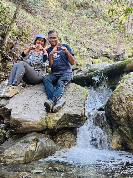
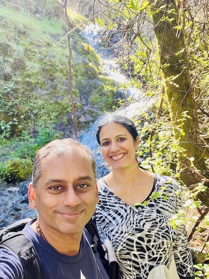
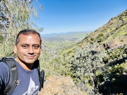
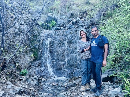
We did get great pictures.. and as San says, even some cheesy ones. 

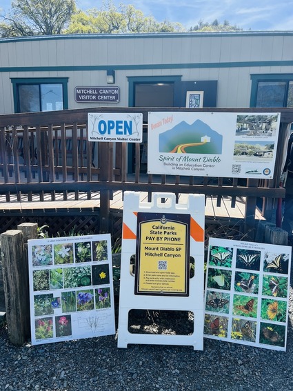
There is a visitor center where the trail head starts. There is a 6$ parking fee. If you have the app, you can pay from your phone.

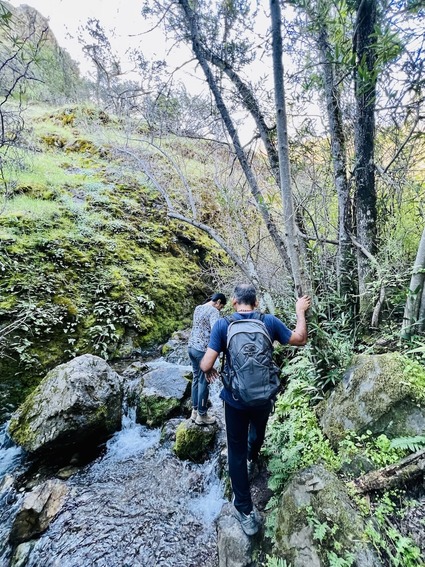
We started on the Mitchell canyon road trail head and decided to go counter clockwise to do the hard part of the hike first. 

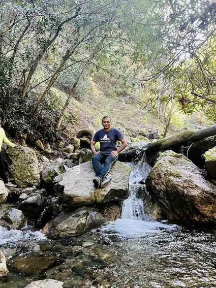
This was the place where I fell into the creek.. 

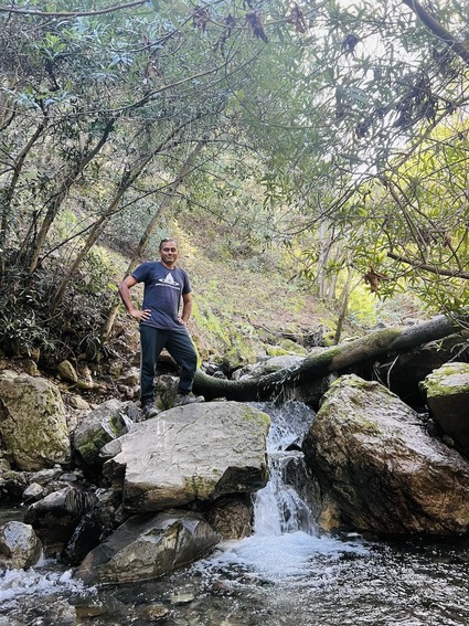
After recovering, had to take a picture on the creek side.. 

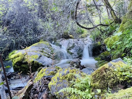
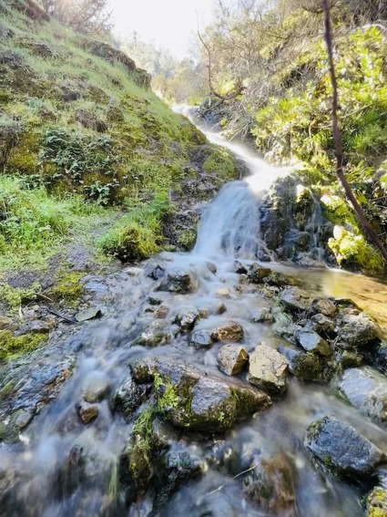
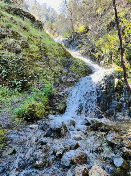
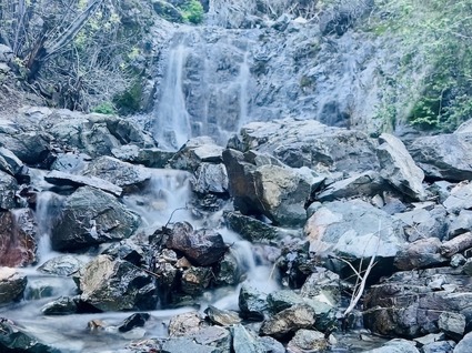
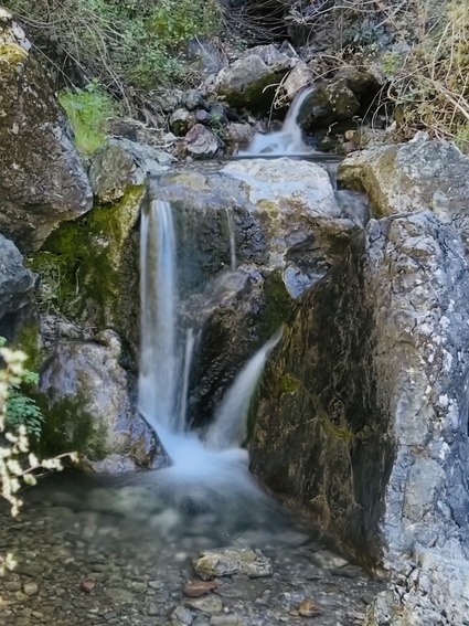
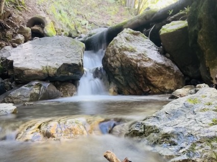
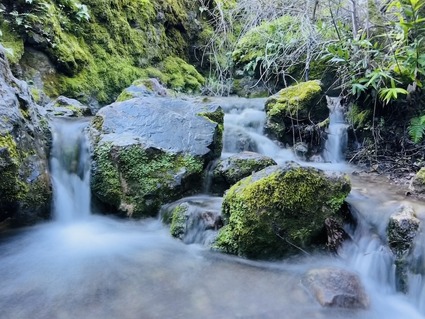
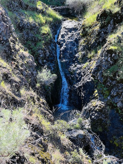
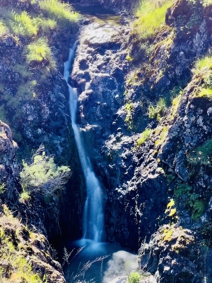
There are a lot of small and large waterfalls on this trail. They were all beautiful
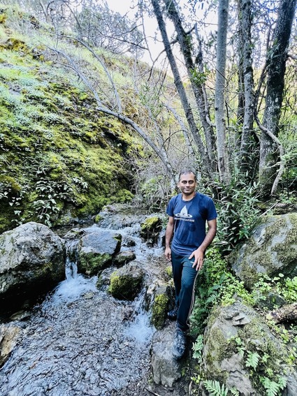
we covereted Bruce Lee road, Back creek Trail, Meridian point, Donner Trail and Muricho Road as part of the hike.

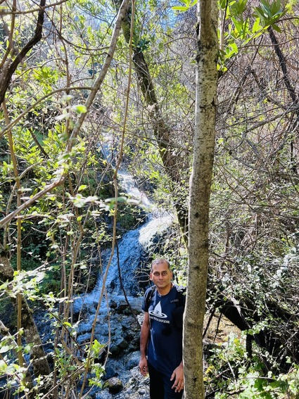
The sun made the falls light up!

We got to sit and have tea on a rock with a view of the falls.. 

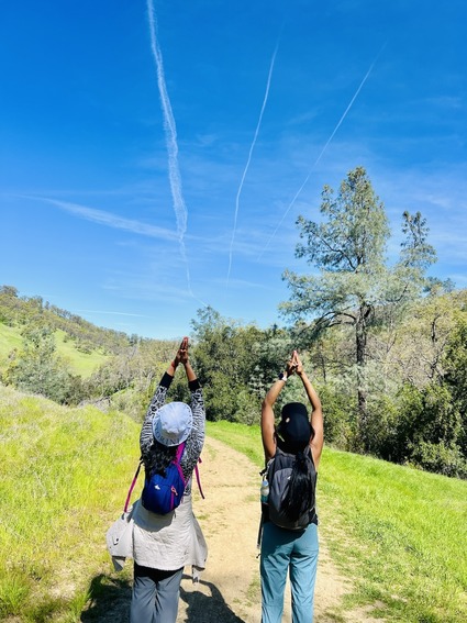
The ladies did some dancing here (which I thought was as risky as me clambering on top of rocks to get a photo).. sadly there is no permission for that masterpiece to be shared in this blog!

the long expsoure mode in iPhone comes in handy, given I did not take the SLR with me on this trip. Usually I do when waterfalls are involved.. given I was taking 2 1/2 liters of water and change of clothes, decided to keep SLR at home. The change of clothes was there in case I sweat too much.. luckily it helped after falling into the creek! In case you are wondering "I don't see different clothes?"... I switched one Bikram Yoga shirt for another.. when your wardrobe is full of the same T-shirt.. changes will not be obvious!
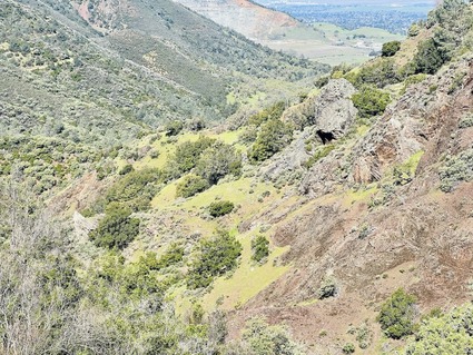
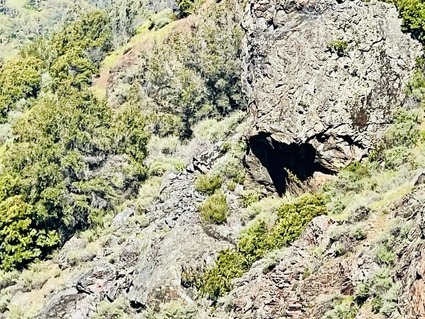
we were talking about seeing god in nature and we saw this "black dog" on the mountain side

Zooming in, saw it was a shadow of a rock outcrop that looks just like a god.. sorry.. dog!

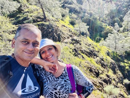
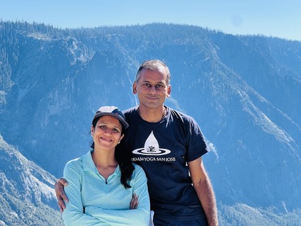
Guess it takes ~ 25 years of marriage before the wife decides some PDA is okay. This seems to be a trend among desi women I see in bay area.. either they turn 50 or have a 25th anniversary party and suddenly they decide enough is enough and start wearing tank tops for their jogs and bikinis to the beach and even start holding hands with their husbands in public! If the stats are any indication of what is to come.. I need to mentally prepare myself. You cannot suddenly ask a domesticated dog to go run wild in the forest.. 

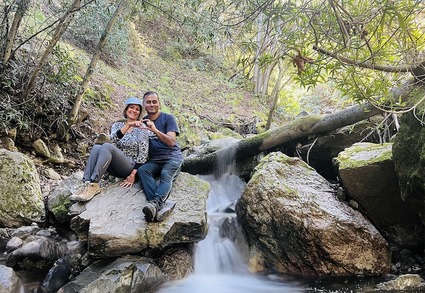
This photo was Photoshopped with two versions of the same photo.. one with Long exposure for the falls and one regular to capture us..

all said and done I am a happy camper..

talking of seeing god everywhere.. there was a "govindaa goooovindaa" moment..

Pay before you start hiking.. or you get a ticket!

A video of all of us crossing the creek 20 times over the hike..

It would have been even better if I had not fallen... but it is what it is. Next time we will go when there is more water and I will be safer walking on rocks!

Monday
Mar042024

The mother of all waterfalls
The previous post on this series is here..

The main highlight of the Argentina- Brazil year end trip was a visit to Iguazu falls. This was the bucket list long awaited visit.

After spending two days in Buenos Aires, we flew to Porto Iguazu airport (which is inside the national park) and had a taxi pick us up and drop us at an Airbnb. Porto Iguazu is a small place with a bunch of hotels, restaurants and shops mainly catering to the falls tourists. It was raining as expected and we were in the middle of the jungle in a small town. We had a good nights rest and were to be picked up at 7AM. 
Our plan was ambitious. See both the Brazilian side and Argentinian side of the falls in one day. Iguazu means "big water" in the local language. 
We waited to get a same day visa to Brazil at Faz Iguazu (Brazil means Portugese becomes the language!) at the gates and after a 30 minute wait we were waved through. We were dropped off at the ticket center for the falls with precise instructions from Martin (our driver for the day). He communicated with us using Google translate on his whatsapp the entire time while trying to improve his English. There were three stops. First stop was a jungle walk (optional) which I did with a sub group from the bus. Second stop was a boat ride to the falls and back which the entire family went on. Third stop was a vista point with a walkway to the edge of the falls (again I went alone). 
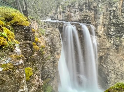
The boat ride took us to the Brazilian side of the falls. We were all completely wet anyways after that boat ride. The walkway to the edge of the falls was unbelievable. There is no way to describe this in words or capture my emotions as I wandered through this place. So here are the pictures in slideshows..
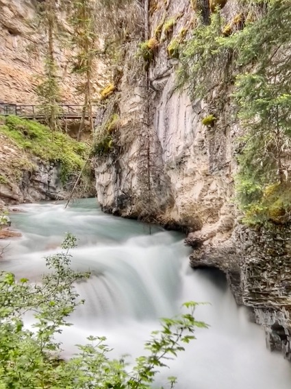
 

and some pictures with us ...

After the walk to the vista point we got back on the bus to the ticket center, waited for Martin to pick us up. This place reminds you of the Antarctic penguins documentary where everyone is trying to find their chosen one in a crowd.. unfortunately Martin and us did not have any specific Yaadon ki baaraat type songs to call each other.. in a mad crowd of drivers trying to find their respective tourists, we decided to wait as opposed to get lost. Finally our driver found us and off we went back to the border. 

It was interesting as the Brazilian side had no record of us entering that morning as their computers had an issue updating. So we waited as they made manual passport entries and finally let us go back into Argentina. That cost us another precious 30 mintues. Martin raced us to the Argentinian side of the falls where we were to take yet another bus ride, followed by open jeep looking vehicle ride, a walk down 500 steps, and a boat ride. Given the wet clothes, San and the little one decided to walk and see the falls. It was a 2 plus mile hike and they preferred that to getting wet again. 
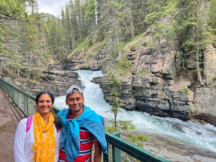
Jr. felt bad for daddy and agreed to join me. She later told me it was a great decision as she thoroughly enjoyed the boat ride and falls. This trip to the falls was 10X better than the mornings trip. The highlight of the falls is a place called the "devils throat" where water just gushes out. The Argentina side of the falls is a must see just for this. It is risky as we don't get anything but a life vest and the waters are turbulent. However, all is well that ends well.. definitely recommend going on that boat.
we got gopro videos from both rides. I also took videos using my iPhone and the SLR and have combined them into multiple clips.. 


The videos ..

Bus ride and walk to boat ride on Brazil side

Brazil side boat ride


Vista point walk on Brazil side

Argentina side boat ride including a visit to "devil's throat"


Videos we paid for and got.. again the Brazilian side was a lot less exciting and a lot more expensive..

Was not even able to find the video from the Brazil side. One reason why I should try to blog as soon as trip is done!  

Jr. and me had to walk back a good mile and a half in rain to get back to the entrance and then we made it back to the Airbnb. We got some to go food at one of the local restaurants, rested for the night and were off the next morning. 

We said bye to Martin.. good people come in many shapes and forms.. Martin, is "good people"!


We got to see the falls from the plane and it was magnificent.  

also got to see some beautiful sights from the plane as we flew along the river..

There was still an evening to spend back in Buenos Aires near another airport and we were to fly to Rio from there the following morning..

More on that tomorrow.. 

Tuesday
Oct312023

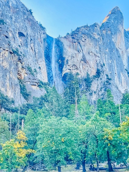
Upper Yosemite falls- a tough hike

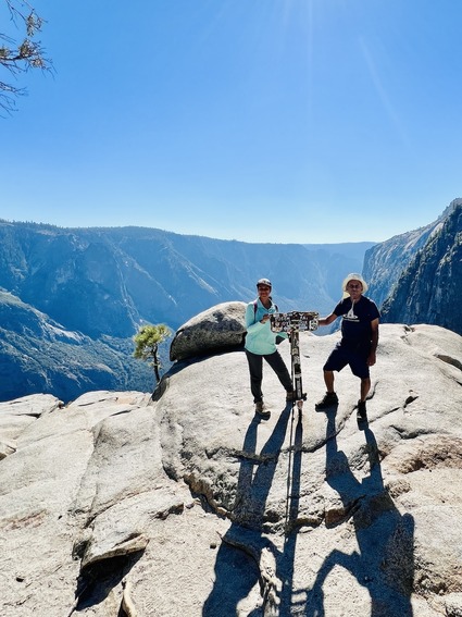
Last year saw us do both Clouds rest and Half dome hikes in Yosemite. This year we had no plans. Two of our yoga teacher friends wanted to hike with us and also test out the RV they are building. So we made a quick plan to go with them to Upper Yosemite falls. After seeing posts and reports on the hike, they decided to bail out and do a shorter hike instead. In retrospect, they made a wise decision!

We were this close to canceling the hike but decided to make a day trip, thanks to other friends who decided to join us. 

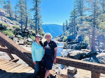
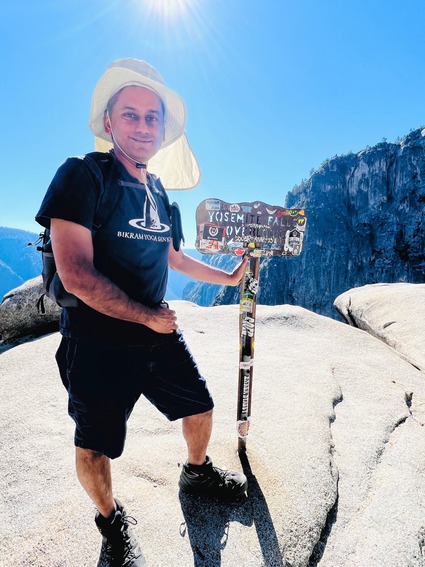
Woke up at 3:30 AM to make tea for the trip. There is no hiking without Chai! Started the drive before 5AM and we reached at 8:30 AM. After eating breakfast and drinking chai, we started hiking up at 9. The plan was to make it to the top by at least Noon or 12:30. It ended up being a hot day the sun was over us the entire time. We reached the top only at 1:15. 

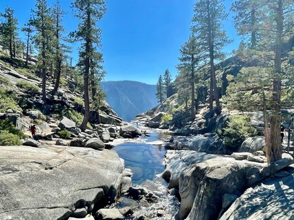
Most of the folks had a face washing session while I decided to take a dip in the very cold water. It was really refreshing. Also the change of clothes was much needed!

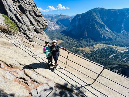
We ate the food that was packed. It was windy and scary but we did go down to the falls head view point using the railing.. (you can see it in the video). 

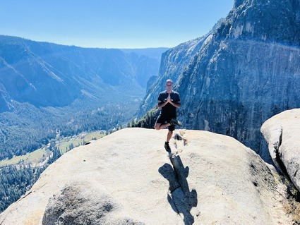
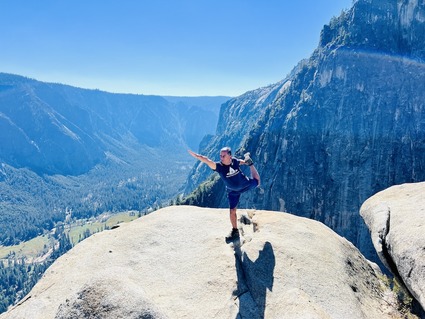
Tried my hand at doing yoga poses before and after lunch. As usual San and friends were scared of me trying to balance on one leg on top of rocks. 

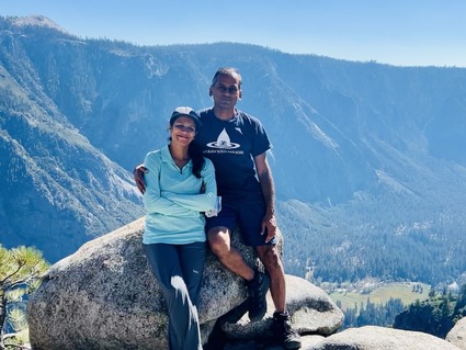
San was so happy when we made it to the top. Even she found it hard. 

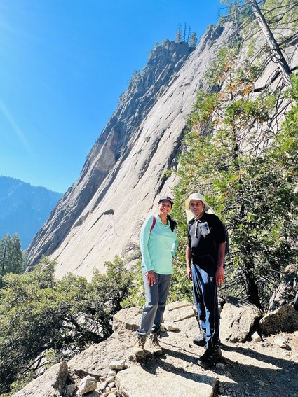
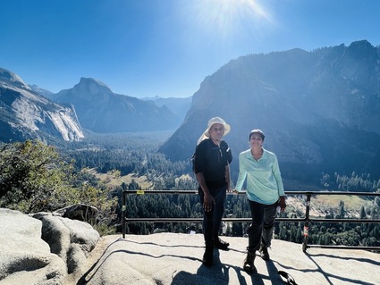
Then we made our way back. Our downhill speeds were different. It is hard to pause on the return. The entire thing is rocky and you have to watch every step. The rocks are all slippery and dangerous. The good thing was it was windy and shaded on the way down. Given we all split up, some guy helped take this photo. Folks came down anywhere from 4:35 to 5:45 depending on their ability to go downhill or take breaks on the way.

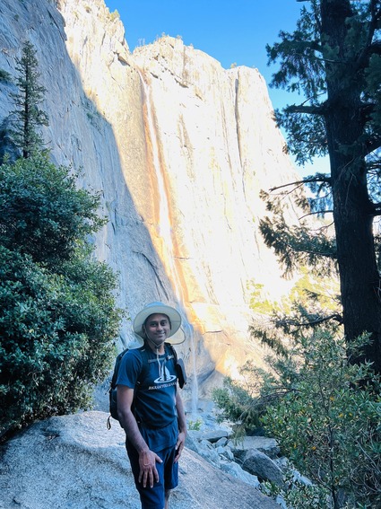
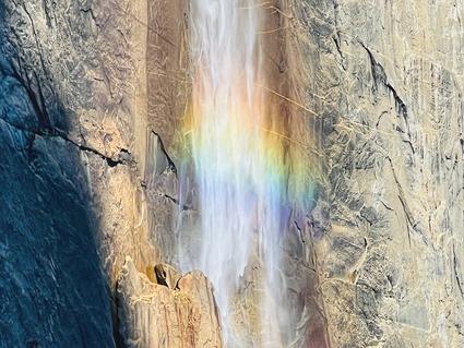
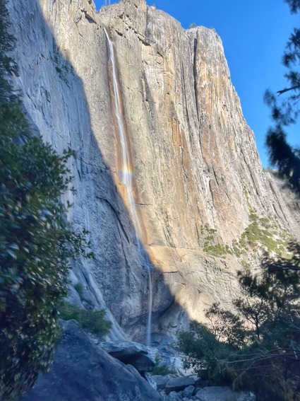
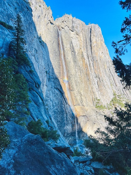
There was a beautiful rainbow in the middle of the falls.

After practically hopping and running down without much of a break, all our legs were shaking uncontrollably for a good two hours!

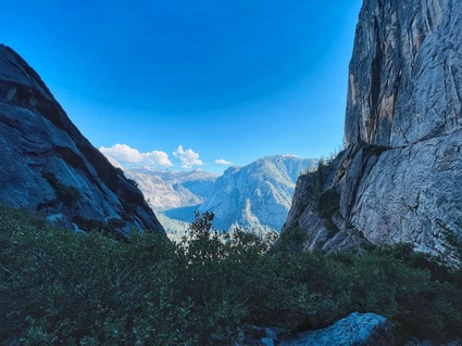
Some more photos..

It was a very challenging hike even compared to Half dome because of the sun! The park service does classify this as a hard hike. 

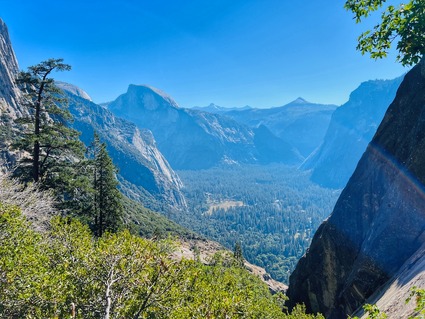
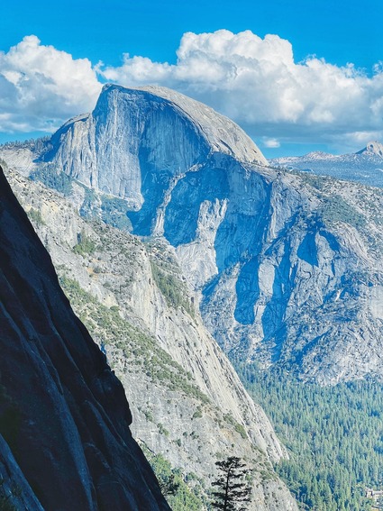
A mile into the hike we get to Columbia rock, a view point where we get to see half dome. it is a great spot to take a break and get some photos of the valley! 

We started driving back at 6:30 PM after eating food we had packed and came home at 10:30 PM. 

A short video of the hike..

Definitely recommend this as a day hike, ONLY if you have been hiking regularly and can handle a steady climb that keeps going for 3 hours straight. Not recommened for beginners or people who have difficulty coming down rocky terrain. 

While we struggled through the hike, we enjoyed the company and had a sense of accomplishment after coming back to the parking lot. The hike is 7 miles from trailhead to top and back , but we walked 10+ miles in total. The elevation gain on this one is 3200 feet in 3 miles. So a steep challenging hike.

One more hike in the Yosemite National park checked out. Next year, we will find another interesting hike to do in YNP!

Sunday
Jul312022

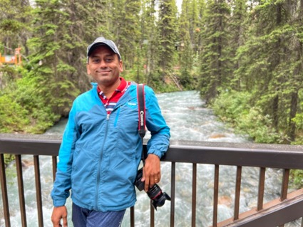
Johnston Canyon trail to Ink pots - Banff highlight

The previous post in this series is here..

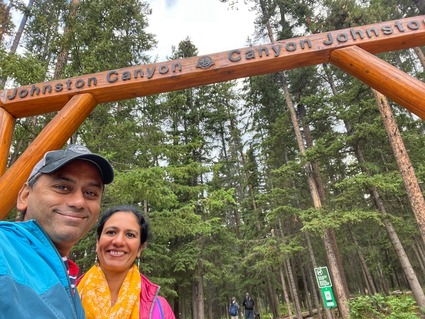
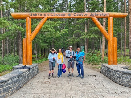
After visiting Lake Louise, Lake Moraine and doing the Paradise valley hike, we drove to Johnston Canyon. We knew what we had to do..

Hike to lower falls, then upper falls and depending on how we were doing at that time, go all the way to Ink pots. Given we had already hiked 6+ miles by then, this was going to be another 8 miles. Our decision was to go at a steady pace.

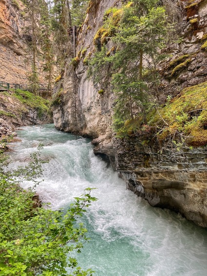
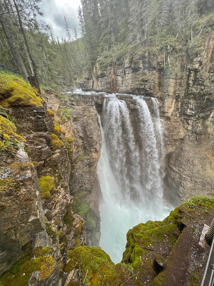
Lower falls came and went,

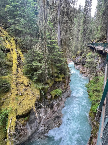
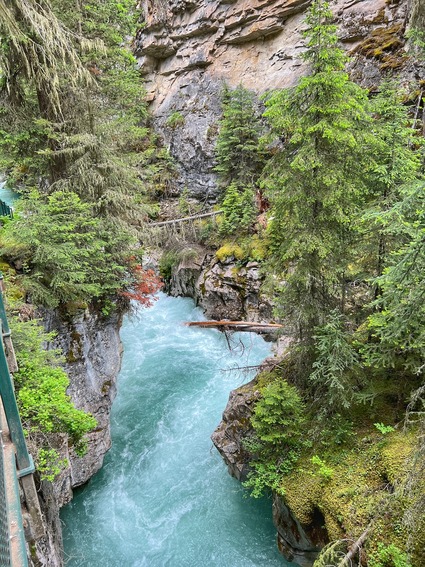
we cross the river and then go along it on a catwalk

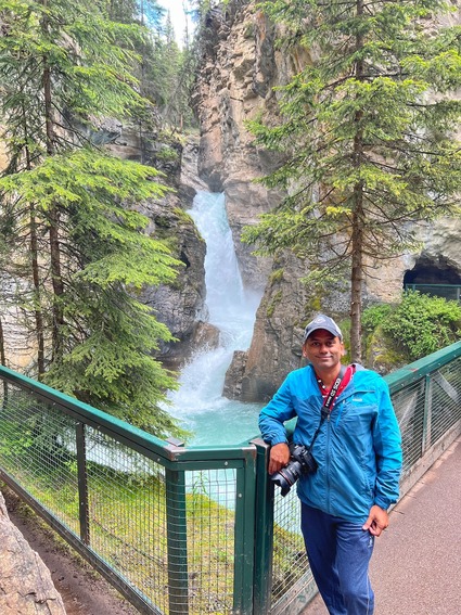
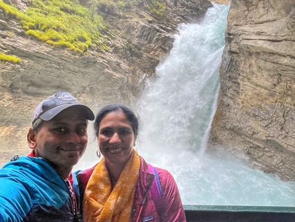
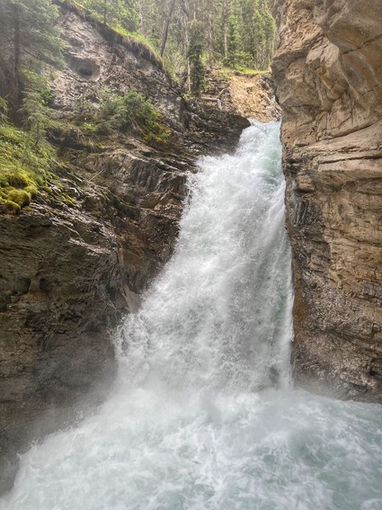
There is a small tunnel you go through (there is a line) and you get to see the falls up close and personal..

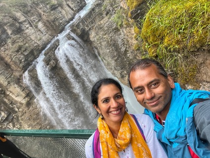
Then we start towards upper falls. It is a decent, easy to moderate hike to Upper falls.  At this point the crowd has already thinned down and most people turn back..Upper falls is beautiful.. 

tried a few long exposure shots..

we walk to the top of the falls and then deviate from the river to go up the mountain range..

Ink pots deserves a blog post of its own, but given the rate at which I am able to blog, just going to write this as one long post..

you walk past Upper falls through a meadow with flowers that has an amazing vista!

Maybe 10% of folks go past Upper falls to Inkpots, as it is considered a hard hike. We had to go.. San for one actually offered to turn back, but I refused. It is not everyday I am coming to Banff, so off we went. 

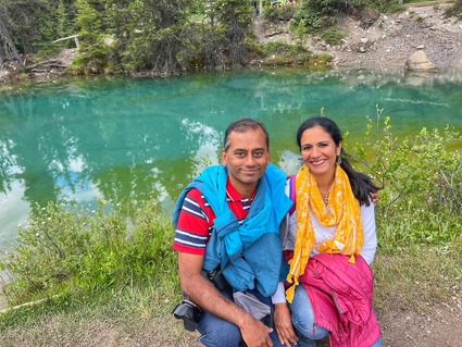
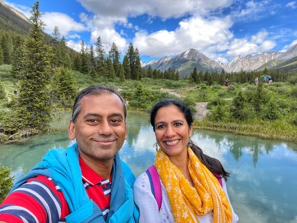
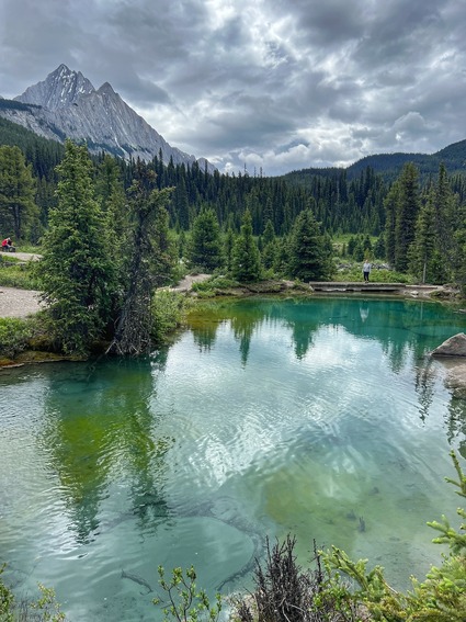
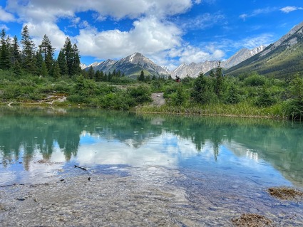
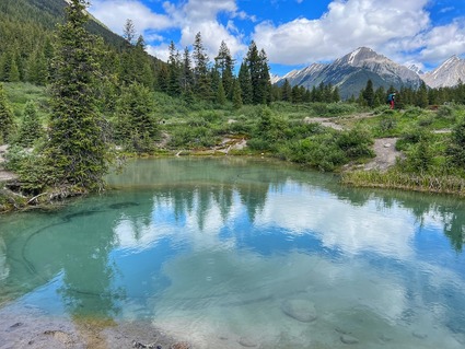
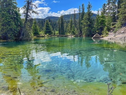
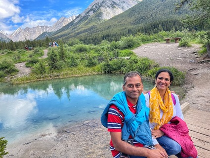
The scenery that awaits you once you reach is worth it.. there are 5 to 6 pools of different depths which have different shades of blue and green because of the sediment and the depth of the pools.. the reflections of the mountains in the pools makes for amazing pictures.. I composed this shot and asked a college kid to take this picture.. my camera was on the floor at one end of the pool.. once she saw the end result, she requested me to take the same shot on her phone.. before you know it, there was a line for that!  San was impressed by my photo composing skills for once!

some more shots at this beautiful location..(you can see it in the video also)

we were really happy we did this hike! 

A video of the hike..

It was a hard hike only because it goes up and straight down to a valley to Ink pots. That means you climb up, climb down and up again on the way back. That saps you mentally. 

Fortunately for us, we met an amazing local couple who were senior to us, but do this hike regularly. We started talking to them and while San and Mr. Local started walking faster, I really hit it off with Mrs. Local and we just kept talking and walking. The last 4 miles was a breeze.. before we knew it, we were down and almost 30 minutes ahead of when we thought we will get down. Sometimes, a great conversationalist is all that is required to get me moving fast again! I didnt take a single photo on the way back. Just walked and talked. 

We really enjoyed their company and had lunch with them. We had packed parathas from Indian Curry house and they had their packed lunch. We decided to stay in touch and started driving back towards Banff. Our plan (which they thought was going to be luck driven, given parking and ticket availability) was to go to the Gondola and go up Sulfur mountain! 

More on that later.. 

This is a must see place in Banff.. the Ink pots is a hard hike, but don't miss it. Take enough water and pace yourself and go.. 

We made friends for life on this trip and that made it all the more special!

Saturday
Jul232022

Two lakes and a waterfall

The previous post on this series is here..

The bus stopped at a waterfall that flows into a river (where they Freeway goes between the two). This was followed by two more stops at Bow lake and Waterfowl lakes. 

Both these lakes looked similar except for the extent of the "lake beaches" and the picnicing crowds. The scenery was just amazing!

This photograph is thanks to the Belgian professor.. his daughter was telling to him take some vertical and horizontal.. he goes "will even take some diagonal.. how about that?". Turned out great!

We met a large punjabi family of 30+ people with picnic blankets and food spread out in one of the little coves around the lake. We were given half an hour at the stop and everyone in the bus interested in taking photos at the lake had to walk through one of many trails to get to the shore and take pictures. We thought we were going to a quiet spot.. turned out not to be. so we went back around to find a quiet spot to take photos. 

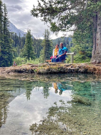
Both these lakes are beautiful. Turqoise waters, clear enough for you to see the bottom pebbles for quite a distance, snow and ice covered mountains in the background..

San's candid shot of me at Waterfowl lakes

Surprisingly, she took a lot of photos of me on this trip and they were all good! Not out of focus, not contrasty, over or under exposed.. just right! That was a big bonus for me on this trip!

if you are not going by the bus tour, stop by both these lakes! There is enough parking in the parking lot at bow lake. For Waterfowl lake, you just stop at the vista point and walk down. 

A video of the stops 

The day wasn't over. We still had lot to do after being dropped off..