The previous post in this series is here..
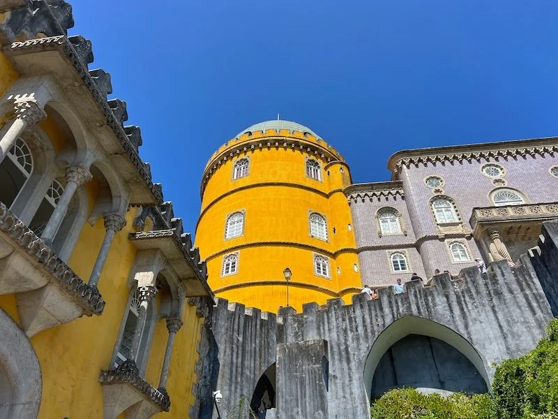
After Sintra, we drove to the Pena Palace. This was a humongous palace. There was a garden on the way to the castle and we got to walk a bit through it with our guide.
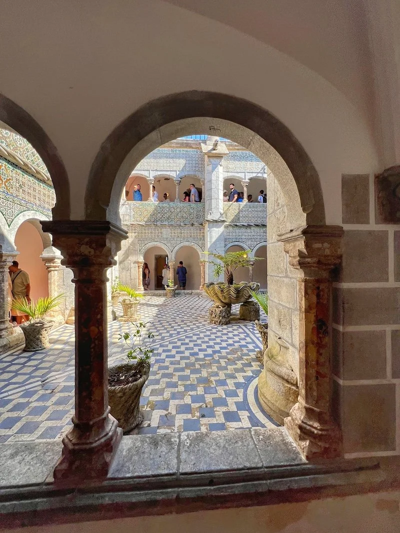
The guy who built the palace for his wife did not get to enjoy it with his wife. A staggering amount of money went into building this in three different styles and connecting them. The artwork, the architecture (columns, staircases, ceilings, arches) are all very distinct and different in these three parts. This is a must see for any architecture fans and architecture students.. just fantastic!
This is one of my favorite photos from the entire trip. Had asked her to go and peek from that turret structure.. she came out with such a beautiful smile.. while this is all I got on camera, the rest is in my head.

Another favorite.. this was the closest to a “bench photo” for this trip!


These pictures and videos don’t do enough justice to this palace. If you are visiting Lisbon, do NOT miss a visit to this palace.


We met a couple from New York and another from New Zealand and had great conversations with them throughout this day trip. We also took photos for the other group. After the walk through the castle, we sat at the Palace souvenir shop and got some sweet popcorn. Then off we went back to the bus for a visit to Cabo de Roca.


This is the western most point in continental Europe. It was extremely windy and we spent a good hour here walking to the monument and back.
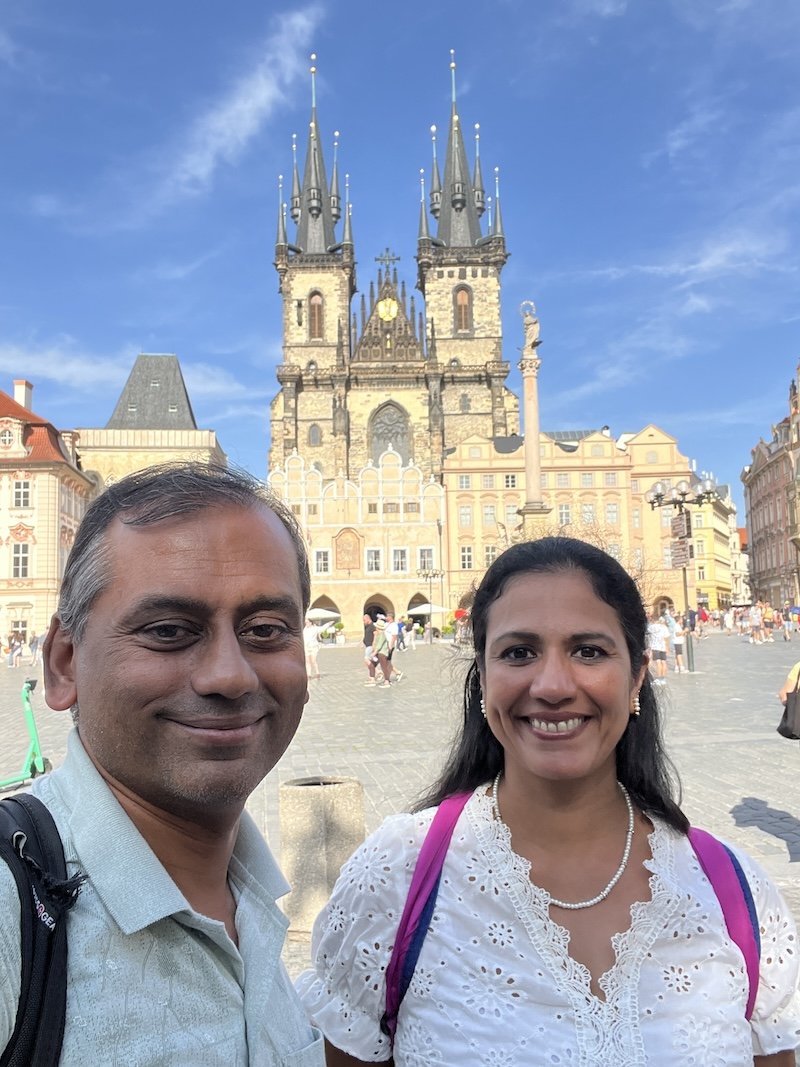
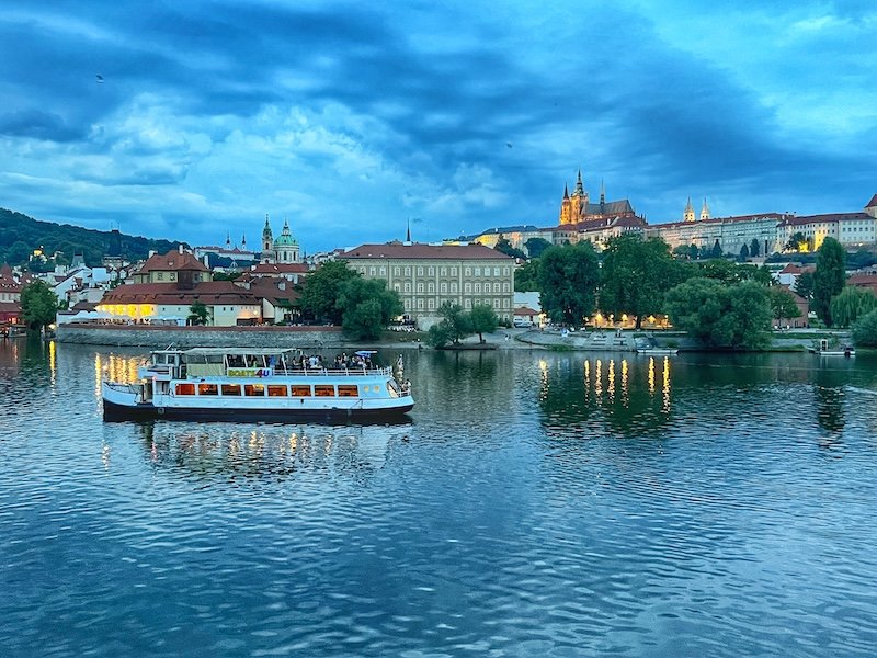
A landscape gallery


and a portrait gallery


a video highlight reel of this leg of the trip
Then it was time to head to the last stop in the tour.. Cascais.. that in another post!