Didn't find it?
RSS feed from Feedburner

 Subscribe to this Blog ?


Sundar Narayanan's Travelog

↑ Grab this Headline Animator


Just another spider on the web
Squarespace
Powered by Squarespace
Archives
Blog Index
The journal that this archive was targeting has been deleted. Please update your configuration.
Navigation

Entries in hiking (68)

Sunday
Dec032023

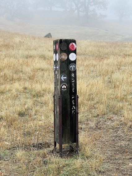
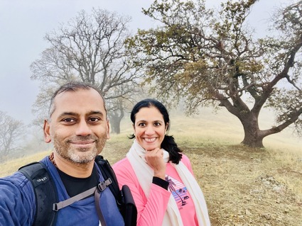
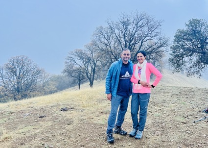
Walking past the clouds - The Rose peak hike

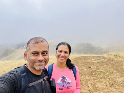
My wife, by default can convince me that everything she asks me to do, is going to be good for me.. and fun!

Usually she is right. It just takes me some time after I have done what she has asked me to do.. to realize that it was good and fun.

This weekend has witnessed yet another such event. 

We hiked Rose Peak on what was supposed to be a cold cloudy Saturday. We usually hear horror stories from people who have tried this hike. Exhaustion, dehydration, injuries, folks being air lifted by helicoper etc. etc. 

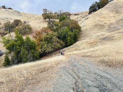
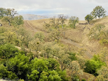
It is a very difficult hike with lots of ups and downs and paths where the trail has been cut through by running water (easy to twist ankle or fall) and 90% of it is open with no trees or cover. Doing this in summer would be really tough. That was one reason for jumping at the chance. There are the cows in the early part of the trail. The land has been leased for grazing. Invariably you have to hike around the cows, especially if there is a bull on the path. We encountered two and walked around.

We have been postponing this hike for some time now, trying to wait for right conditions. Our friends wanted to do this hike with us and the weather report suggested a near perfect day for this hike, and before we knew it, there we were packing the hiking backpacks. 

When we parked our cars at the trailhead, it started drizzling. Showing me the weather forecast saying "see, there is no rain in the forecast", doesn't make it better when it is actually raining! The forecast was shown as proof that the rain at the start was some kind of anomaly. The rain gods however didn't seem to have gotten the memo from the Weather app folks. 

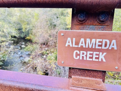
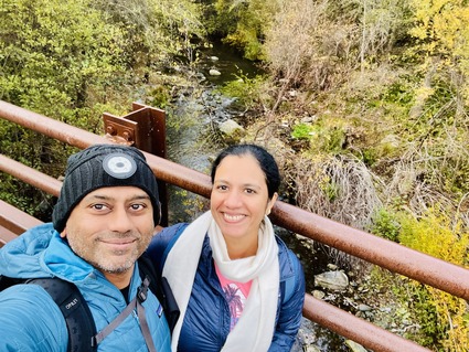
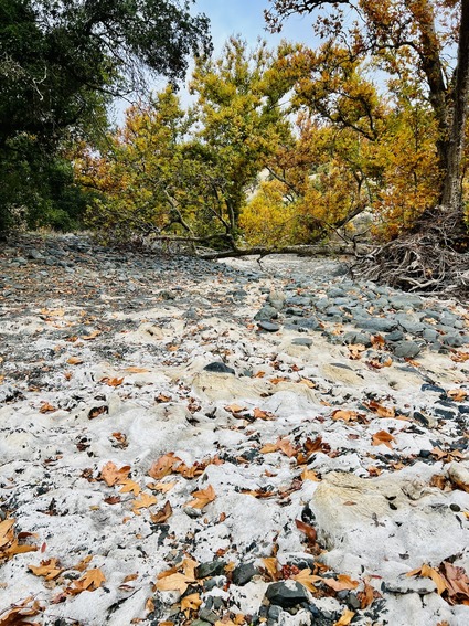
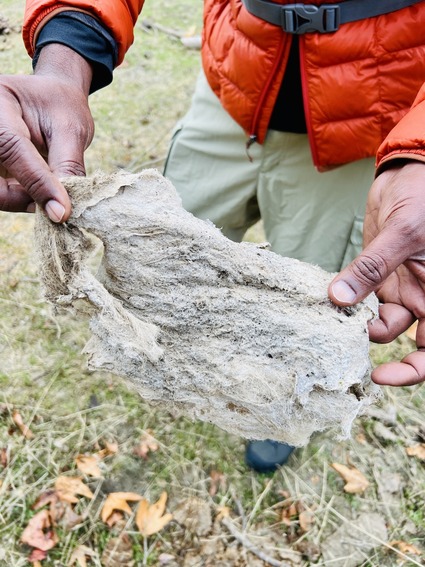
Initially you walk along the creek. We did not see much water but what appeared to be ice or salt on the rocks in the middle of where the creek would be. Being curious, we went down to the middle of the dry creek to check it out. Turns out, this is wood debris that has been mushed to a pulp. This settles and wraps on the rocks like a mesh cloth. Guess this must be how the Egyptians discovered Papyrus!

The early part of this trail we have already been through.. on our way back from the Little Yosemite trail. We got to see the "W" tree again!

This should have been an under 8 hour hike by our usual standards.

Cloudy conditions are always good. We took 2 1/2 liters of water each and drank only a liter or liter and a half. Please note, there is no drinking water available on the trail anywhere! 

However, we took 10 1/2 hours!

The big reason was that it was raining for a good hour on our way up. I was wearing cotton track pants (most synthetics give me allergic reaction) and the wet pants made it very difficult.  

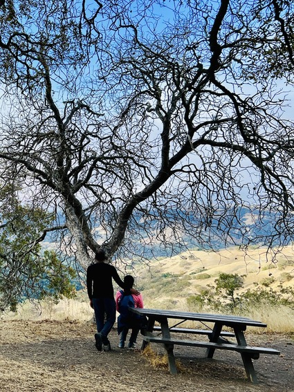
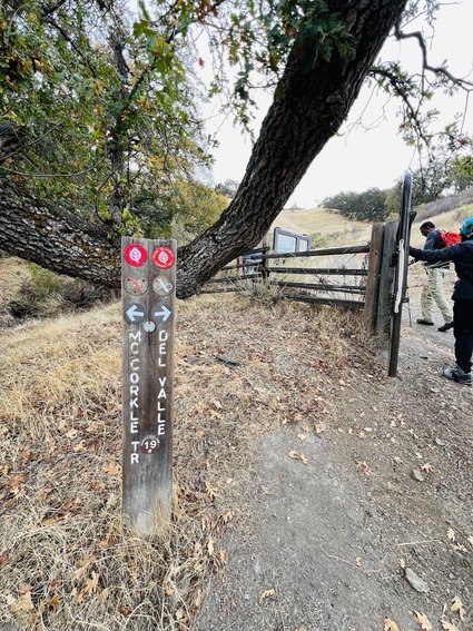
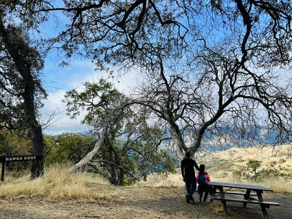
For the most part we walked the Ohlone Wilderness trail. We have passed by Hawk's nest on our previous way back on Little Yosemite but could not get a "bench photo" because an old couple were having their lunch on the bench. At least that is what I remember... this time we got the photo.

The 32 degrees inshirt from Costco may keep you warm, but is not waterproof either.. 

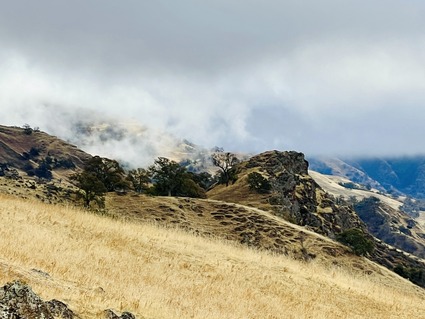
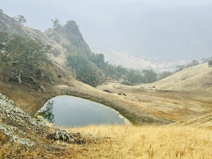
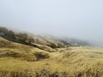
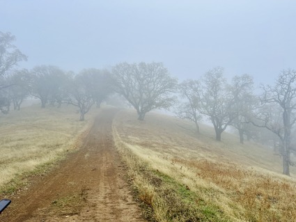
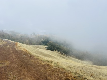
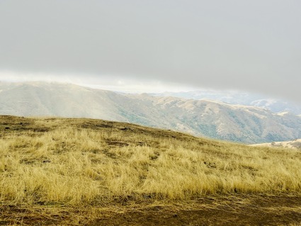
Then the rain stopped, but we walked up through the rain clouds and ended up above the clouds. As we walked through the clouds, the visibility was very poor, so we had to walk as a group so no one takes a wrong turn. During this time moisture kept condensing on our face and running into our clothes which was also an interesting challenge.

If you do this hike on a cloudy rainy day, wear all waterproof gear! We saw only two people on the 18+ mile trip. A guy who caught up with us 4 miles in and decided to turn back. He asked us "why would you want to go to the peak in this weather?".. we answered "so we can say we hiked it!'.. He shook his head in disbelief. When we reached the top, a girl ran in. She had come up in half the time and was planning to go down in half the time as well. 

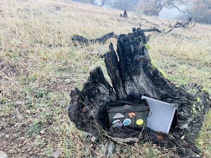
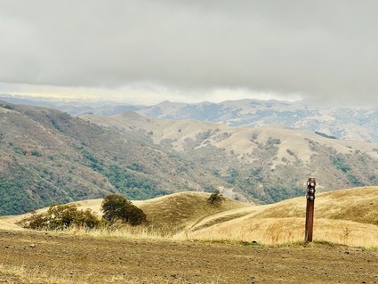
At the top, we not find the geological survey marker to take a picture. There was very poor visibility as well. We did sign the six peaks book to show date and time we made it.  Had chai and packed sandwiches standing up (no place to even sit as everything was wet and slushy) and started the hike back. Hot chai never tasted so good ! My fingers were freezing and were numb when we got to the top!

It was going to be a race against time as sunset was 4:45 PM and we started at 2PM. Our original plan was to be make it back by 5 latest. However given the ups and downs, we found it difficult enough to come down. We were doing 25 minute miles for the first 5 instead of 15 minute miles like we expected. 

One of our friends had just bought new shoes in REI to check them out for a later hike. Turns out the shoe was too loose as well as heel heavy, and it ended up being very painful. She had to use all her will power to walk the last 5 miles. My clothes were still wet. Guess cotton takes a long time to dry, if at all. To top things off, twisted my ankle trying to speed up. Fortunately San had two advil's in her backpack. Took that and kept walking. Trying to compensate for hurting ankle, my hamstrings and ITB pulled up. When 2/4 people in the group can walk only slowly, we knew it was going to be a difficult few hours.

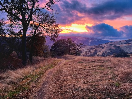
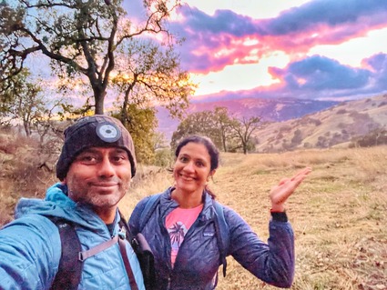
We were treated to a glorious sunset, but didn't stop to take too many pictures. We were really scared of walking downhill in slippery conditions in the dark. Walked as fast as we could.

There was some light till 5:10. The last hour and 20 minutes we walked 3 miles in the dark, with a flashlight and the light in my headband. We managed to avoid stepping on all the lizards and salamanders, as well as frogs and bats on the floor! That also slowed us down.

Did take video clips almost every mile on the way up and down. Here is the compilation..

We were just glad this hike was behind us!

That said, I would like to do this hike again, on a not a partly couldy, cool non rainy day so we can get the views and walk faster. Now that we know the terrain and what it takes, we might do a better job!

For now, I am taking advil regularly and resting to get back to the normal routine. 

Rose peak has been ticked off the list! 

Thursday
Nov022023

Revisiting the Kennedy trail

This post titled Mt. El Sombroso, captured our previous hike at the same place last year. It was the hardest local hike we had tried. 

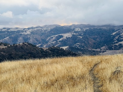
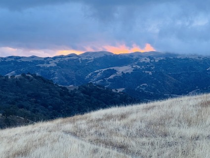
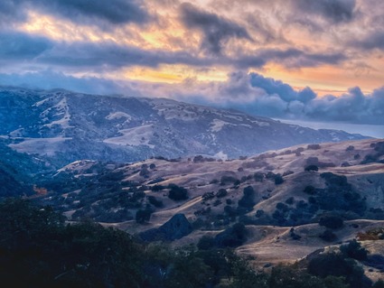
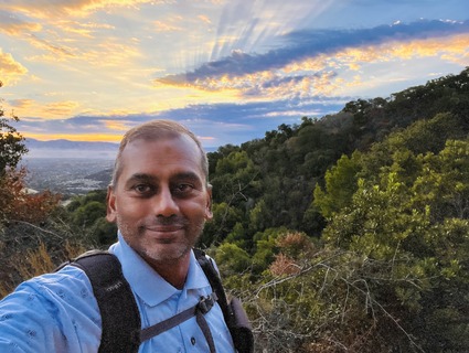
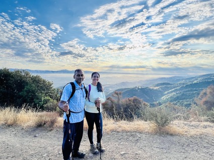
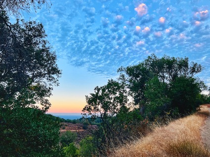
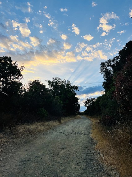
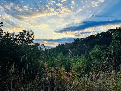
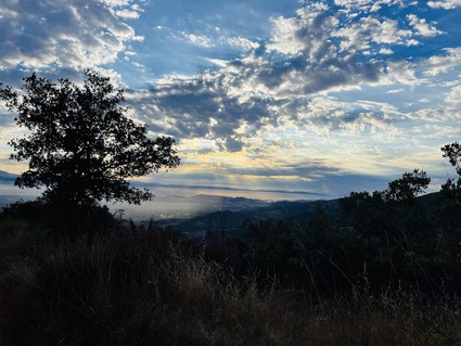
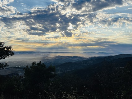
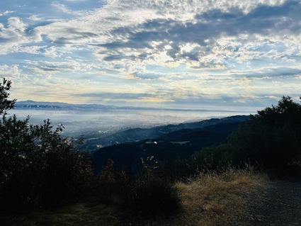
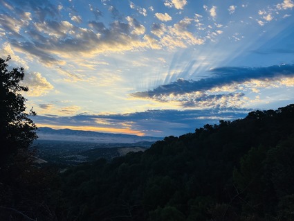
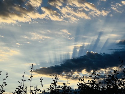
This year we went there again on a cooler day. The added bonus was the sun rays coming through the clouds. It was just a spectacular sunrise. We started hiking very early and were back after a chai break at the top by 1PM. It was still a hard hike even if the weather was better. 

Here are some pictures.

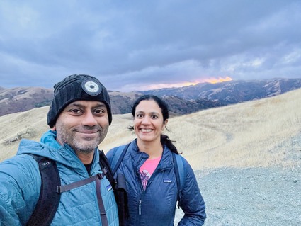
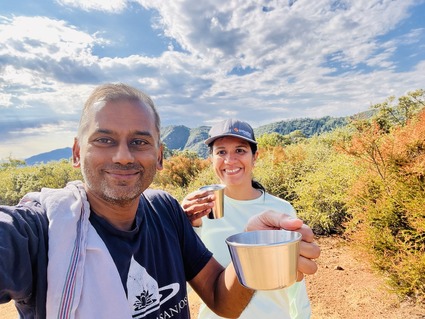
Chaifie at the summit

These days I sweat so much that there is a change of clothing at the summit. Find it easier to walk back in fresh clothes!

Now the skies..


If you need a prep hike for any all day hikes in Yosemite, look no further.. this is the best option!

Something tells me we might even do this trail again in a few years!

Tuesday
Oct312023

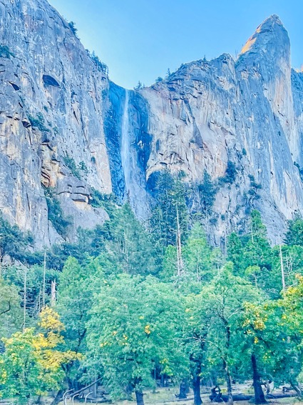
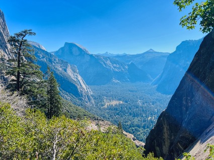
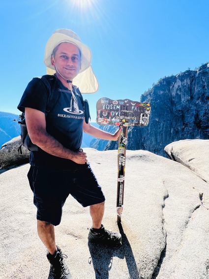
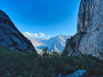
Upper Yosemite falls- a tough hike

Last year saw us do both Clouds rest and Half dome hikes in Yosemite. This year we had no plans. Two of our yoga teacher friends wanted to hike with us and also test out the RV they are building. So we made a quick plan to go with them to Upper Yosemite falls. After seeing posts and reports on the hike, they decided to bail out and do a shorter hike instead. In retrospect, they made a wise decision!

We were this close to canceling the hike but decided to make a day trip, thanks to other friends who decided to join us. 

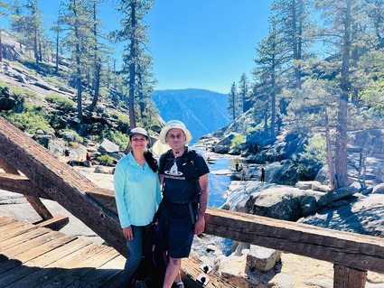
Woke up at 3:30 AM to make tea for the trip. There is no hiking without Chai! Started the drive before 5AM and we reached at 8:30 AM. After eating breakfast and drinking chai, we started hiking up at 9. The plan was to make it to the top by at least Noon or 12:30. It ended up being a hot day the sun was over us the entire time. We reached the top only at 1:15. 

Most of the folks had a face washing session while I decided to take a dip in the very cold water. It was really refreshing. Also the change of clothes was much needed!

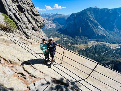
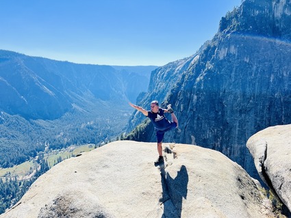
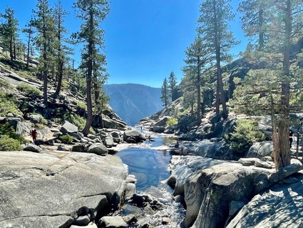
We ate the food that was packed. It was windy and scary but we did go down to the falls head view point using the railing.. (you can see it in the video). 

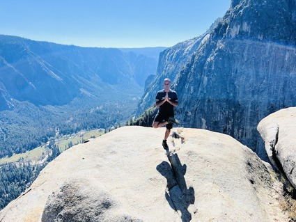
Tried my hand at doing yoga poses before and after lunch. As usual San and friends were scared of me trying to balance on one leg on top of rocks. 

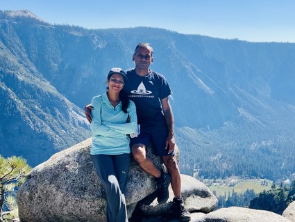
San was so happy when we made it to the top. Even she found it hard. 

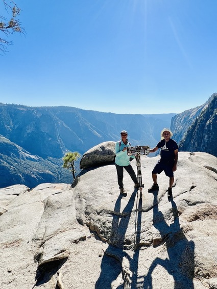
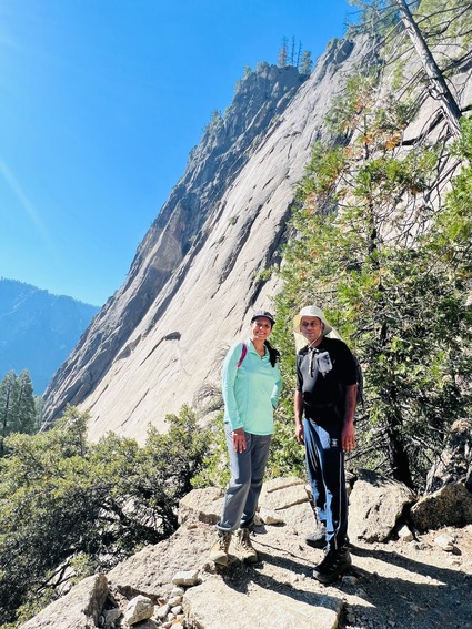
Then we made our way back. Our downhill speeds were different. It is hard to pause on the return. The entire thing is rocky and you have to watch every step. The rocks are all slippery and dangerous. The good thing was it was windy and shaded on the way down. Given we all split up, some guy helped take this photo. Folks came down anywhere from 4:35 to 5:45 depending on their ability to go downhill or take breaks on the way.

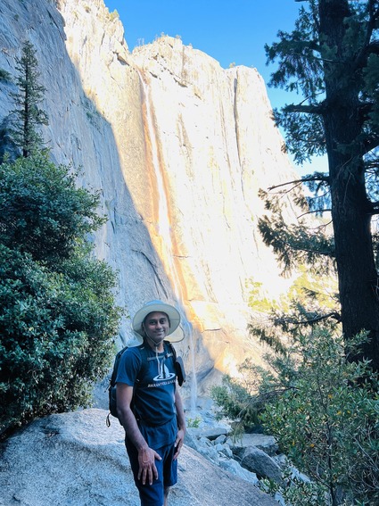
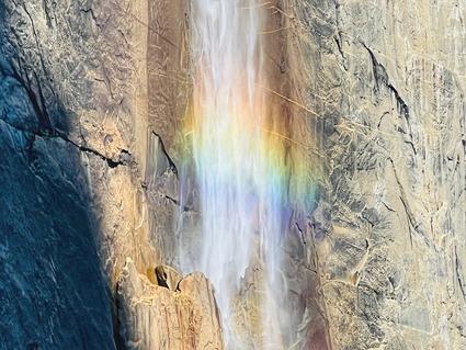
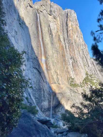
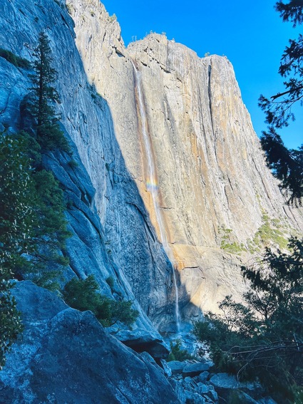
There was a beautiful rainbow in the middle of the falls.

After practically hopping and running down without much of a break, all our legs were shaking uncontrollably for a good two hours!

Some more photos..

It was a very challenging hike even compared to Half dome because of the sun! The park service does classify this as a hard hike. 

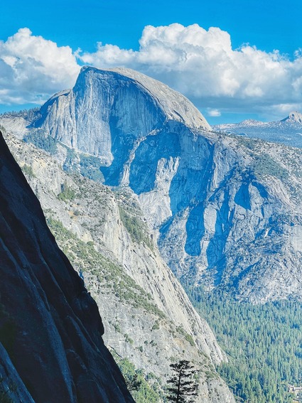
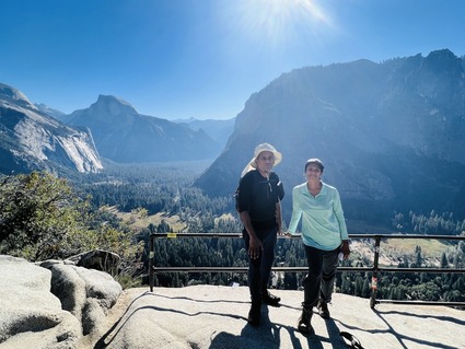
A mile into the hike we get to Columbia rock, a view point where we get to see half dome. it is a great spot to take a break and get some photos of the valley! 

We started driving back at 6:30 PM after eating food we had packed and came home at 10:30 PM. 

A short video of the hike..

Definitely recommend this as a day hike, ONLY if you have been hiking regularly and can handle a steady climb that keeps going for 3 hours straight. Not recommened for beginners or people who have difficulty coming down rocky terrain. 

While we struggled through the hike, we enjoyed the company and had a sense of accomplishment after coming back to the parking lot. The hike is 7 miles from trailhead to top and back , but we walked 10+ miles in total. The elevation gain on this one is 3200 feet in 3 miles. So a steep challenging hike.

One more hike in the Yosemite National park checked out. Next year, we will find another interesting hike to do in YNP!

Tuesday
Jul042023

Portola Redwoods Park.. after Mount Hamilton

On hot summer days, (this was again a month and a half ago) when bay area was ready for "karudam weather" as some south Indians call it.. we wanted to hike as a group in the shade. 

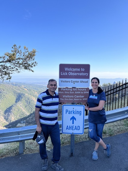
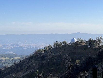
There were reasons for it. We had made an attempt to go to Mt. Hamilton summit but aborted the attempt as multiple people got dehydrated before we reached the 3 mile mark. Our plan was to leave late afternoon and hike given the trail had no shade. Hindsight being 20/20 this was a bad idea. The last time we had successfully done this was in December in much cooler foggier conditions. So we turned back, drove to the observatory in hopes that we can at least take pictures. The Lick observatory had just closed before we drove up. So we sat near the gate, ate the snacks and tea that would have marked a successful hike and drove back all the way. The few pictures from the failed attempt..

The hikers did want to make up for that by doing another hike right away but in the shade. After some debate on the "most shaded trails" in bay area, we picked this Portola redwoods as none of us had been on this trail before.

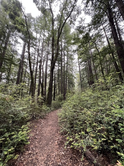
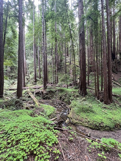
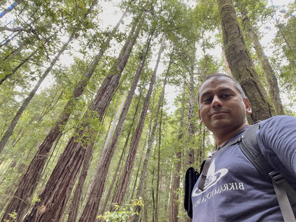
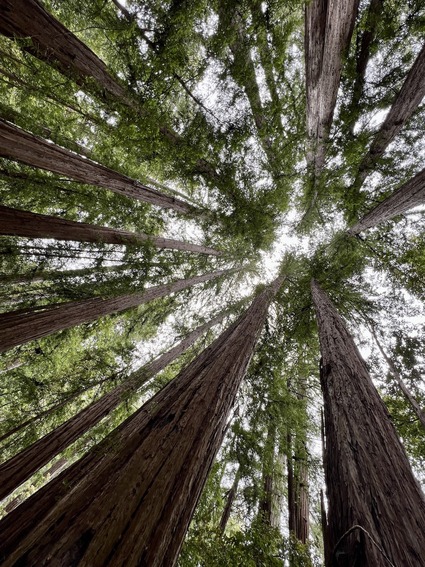
Good news? Total shade. Amazing redwoods. Cool throughout when it is reaching 95F outside

Bad news? no views of any kind. No summit. Uniform views throughout. 

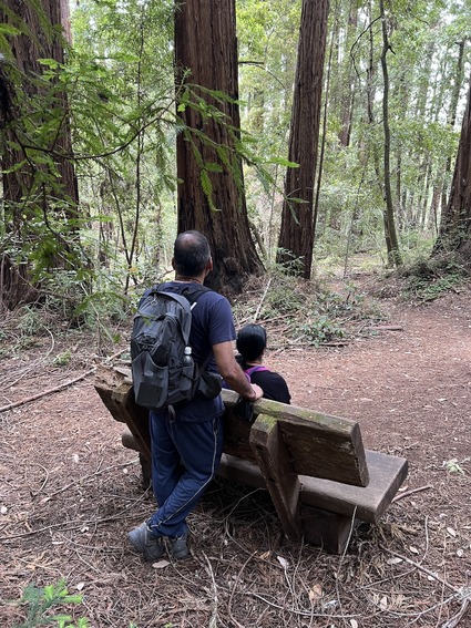
the only thing changing in the "bench photos" that are now part of every hike.. is the increasing size of my bald spot.. you can literally track it across bench photos.

We did have a lot of fun with the conversation and as an added bonus some of the kids joined us! 

This is not an easy trail. Would definitnely ask folks with knee or ankle issues to avoid this! 

We did see some interesting things on the way..

Then the ever present redwoods on the trail..

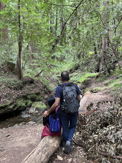
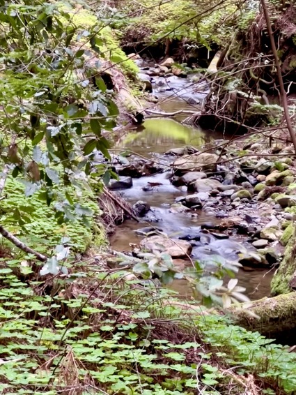
there was a decent flow of water in the creeks, which was an added treat!

A video of the creek and trail.. you can see how serene this place is!

We had a sense of accomplishment after going through this trail to the extent we went. This more than made up for the aborted attempt in Mount Hamilton. Something tells me that we will make another attempt to go around Hamilton in winter. 

One more nice set of trails within a 30 minute driving distance!

Monday
Jul032023

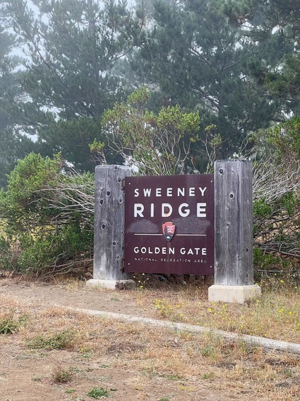
Sweeney Ridge trail and Mori point in Pacifica

After a three week hiatus on hiking, we had a chance to join a large group of folks on a hike to Sweeney ridge. 

A group of 14, some of them I met for the first time. Enjoyed it thoroughly. The trailhead is a 35-45 minute drive from home depending on traffic and given the insane temperatures in Cupertino, this was a morning well spent in the fog and mountains. 
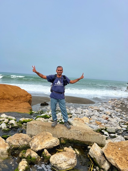
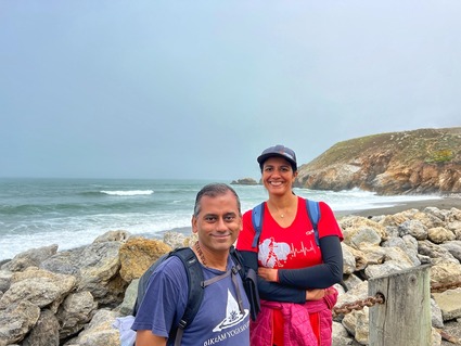
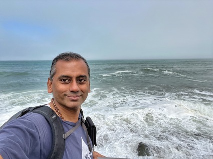
We also get to cross Highway 1 and go see the beach at Mori point  in the end. The ridge is part of the last piece of the hike. Started from home at 6:15 and came back home at 1:45. Hiked for 5 hours with a bunch of photo stops and a small break for tea and snacks at the vista point on top. There was nothing to see as there was a heavy fog and mist in the air. It did feel like walking through Jurassic park.
The parking lot for the trailhead is shared with an Orchid greenhouse. It makes for an interesting last mile climb back from the freeway to get to the car. 

By the time we made it to the top with the 1600 foot climb, was completely drenched! Good thing I had a change of clothes in the backpack for the rest of the descent and beach!

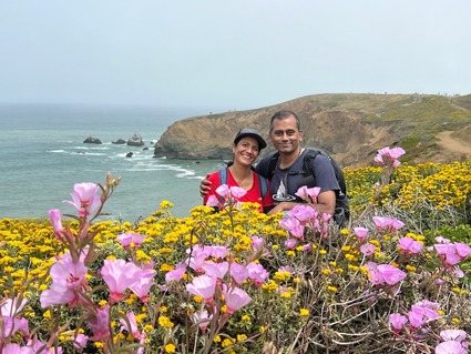
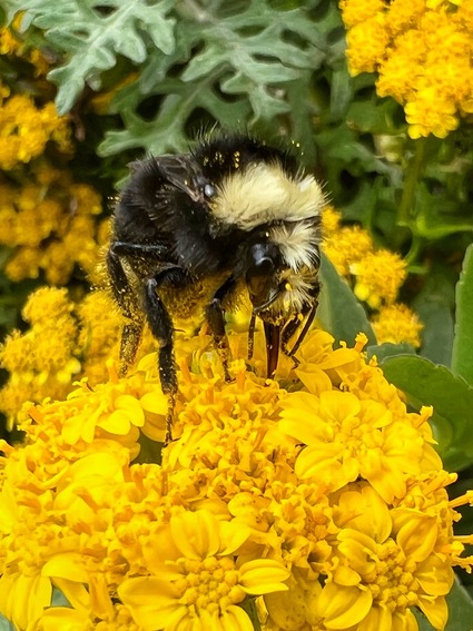
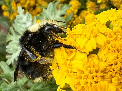
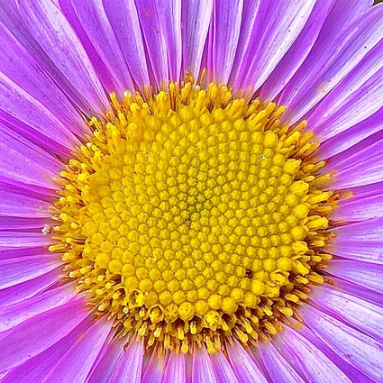
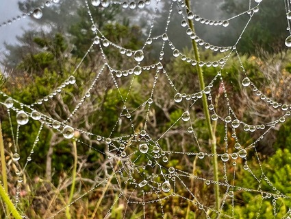
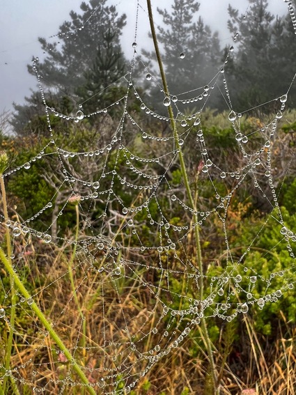
The morning dew made for some great pics with flowers, bees and spider webs.. 

When coming back to the car, noticed that my pants had a yellow layer of pollen on them! Luckily this time there was no severe post hike allergies to report!

sometimes you walk past a small flower that looks near perfect to the naked eye at 3 feet.. then you go take a macro shot of it and realize it is not that perfect.. still this small flower was irresistable!

The rest of the landscapes are in this slideshow..


A short video clip of the hike. Took a lot more slow motion videos of the waves crashing in.. you have a small sample within this clip.

It was time really well spent with a fun bunch! The last part of the trail where you come down to the freeway is very loose with gravel and if you don't have hiking shoes with grip and poles (for folks with bad knees) it is dangerous. We have been doing this for sometime now and managed it.. but first time hikers with improper shoes.....not recommended!  

The trail starts with a steep climb as well and keeps going almost a 1000 plus feet in one go. Warm up beore you start climbing!

Strongly recommend this as an early morning hike for a hot summer day!